Events to celebrate fifth centenary of world map
ANKARA - Anatolia News Agency

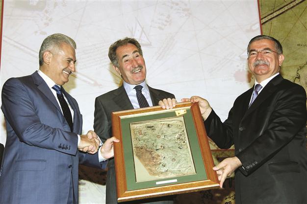
(L to R) Transportation, Maritime and Communications Minister Binali Yıldırım, Culture and Tourism Minister Ertuğrul Günay and National Defense Minister İsmet Yılmaz were presented a Piri Reis map after the press conference that was held in Ankara. AA photo
The Paris-based United Nations Educational, Scientific and Cultural Organization (UNESCO) will organize memorial events on the 500th anniversary of the famous world map of Ottoman admiral and cartographer Piri Reis.
“Remembering Piri Reis, who has marked his name in the history of the world’s cartography, after 500 years by other countries in UNESCO’s scientific, education and cultural commissions, is very important to refresh the world’s memory and to remember what Turks gained in the history of science,” said Culture and Tourism Minister Ertuğrul Günay at a press conference held yesterday in Ankara. The conference was held to launch the events organized by the Culture Ministry, the National Defense Ministry and the Transportation, Maritime and Communications Ministry.
Günay said that the three ministries had prepared a series of events within the scope of the celebrations and commemoration program. He said that Piri Reis was one of the most significant names during the rise of the Ottoman Empire, adding that he was both an important name of marine sciences and a researcher.
Upon Turkey’s proposal UNESCO included the 500th anniversary of Piri Reis’ world map in the 2013 celebrations and commemorations program for its 36th General Conference that was held in Paris in 2011.
“For preparations, a higher council was formed in April and works were initiated. Within the scope of this plan, the facsimile of his Kitab-i Bahriye and the copies of the world map of Piri Reis will be printed. Also, we are working for Google portal to showcase the visual of Piri Reis and his world map next year on April 7, [the anniversary of] when the map was drawn. A decision was also made to print memorial coins, stamps and to use of the Piri Reis logo and slogan in national and international events throughout the year. Moreover, there will be documentary films, animations for children and symposiums,” Günay said.
The minister said that they would collaborate with the Transportation, Maritime and Communications Ministry for promotional events and materials.
The National Defense Minister İsmet Yılmaz said that the map drawn by Piri Reis was the one showing America in the most accurate way at that period. “You can construct the Bosphorus Bridge, but you cannot draw a Piri Reis map again. This is why if you own your culture you can make strong steps for its future. The people of this geography have created many things. This nation does not forget a person, who put a brick in the cultural structure of this society, even if 500 years have passed.”
The other attendee of the conference was the Transportation Minister Binali Yıldırım.
Piri Reis Map discovered by German theologian
ISTANBUL
The Piri Reis map was drawn in 1513 by the Ottoman admiral and cartographer Piri Reis. The approximately one-third of the map that survives shows the western coasts of Europe and North Africa and the coast of Brazil with reasonable accuracy. Various Atlantic islands including the Azores and Canary Islands are depicted, as is the mythical island of Antillia and possibly Japan. The historical importance of the map lies in its demonstration of the extent of Ottoman exploration of the New World by approximately 1510.
The map was discovered serendipitously in 1929 the German theologian Gustav Adolf Deissmann, who was commissioned by the Ministry of Education to catalogue the Topkapı Palace library’s non-Islamic items.