Quake zones in Mid-East to be mapped
ISTANBUL - Anatolia News Agency

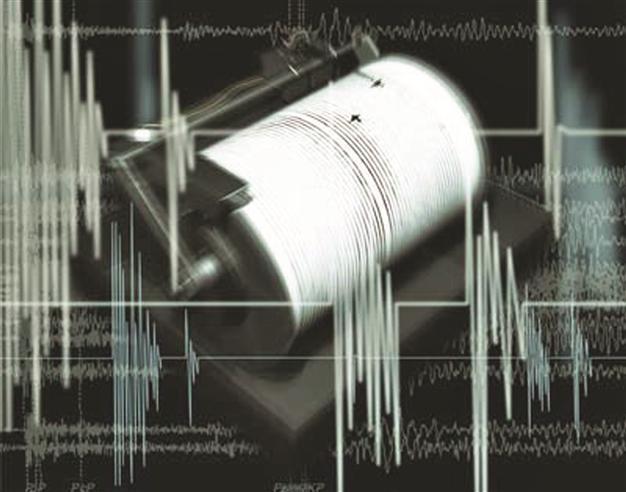
Institutions from Turkey and Switzerland
will co-lead the project. Hürriyet photo
Several institutions from Europe and Turkey are launching an earthquake risk management plan covering the Middle East and Caucasia regions.
Led by Turkey’s Kandilli Observatory and the Switzerland based Federal Institute of Technology, the project will determine earthquake zones in the Middle East and Caucasia regions and offer plans to minimize the damage risks for countries in the area.
Doğan Kalafat, the head of Boğaziçi University’s Kandilli Observatory and Earthquake Research Institute, said major earthquakes occurred every year on the Alpine-Himalayan earthquake belt, which threatens Turkey, Iran, Pakistan and other regional countries.
“The aim of the Earthquake Model for the Middle East (EMME) is to minimize the risks all around the region in the case of an earthquake, as well as determining the risky areas and planning the necessary measures. These are the project’s main goals,” Kalafat said.
He added that they were working in coordination with Azerbaijan, Georgia, Cyprus, Lebanon, Jordan, Pakistan, Iran and Armenia for the Turkey-led project.
Urban earthquake scenarios will be prepared for Iran’s Mashhad, Pakistan’s Karachi, Georgia’s Tbilisi, Armenia’s Yerevan and Jordan’s Irbid cities by the umbrella organization called Earthquake Model for the Middle East (EMME).
The earthquake zone maps are thought to be used together with the Pan-European earthquake models, which were prepared as part of the European Union’s “Share Project.”
Quake,