Topkapı Palace Museum features Piri Reis collection
ISTANBUL - Anatolia News Agency

Culture Minister Ertuğrul Günay and Haluk Dursun of the Topkpı Palace Museum are at the opening of the Piri Reis exhibition (below).
The Piri Reis Map, named for the famed Ottoman admiral and cartographer who authored it, can now be seen at Istanbul’s Topkapı Palace in an exhibition organized by the Bilkent Cultural Initiative for the 500th anniversary of the map’s creation as celebrated by the United Nations Educational, Scientific and Cultural Organization (UNESCO).
The exhibition, which opened yesterday with a ceremony at the Topkapı Palace Silahtar Treasure section, displays the second map made by Piri Reis in 1528-1529 as well as his most famous world map dating back to 1513.
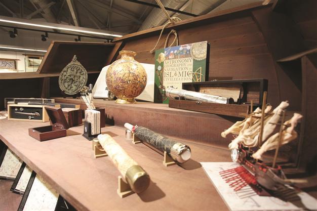
It also features his famous work Kitab-ı Bahriye, which Piri Reis presented to Süleyman the Magnificent in 1526, the first version of the book, written in 1574, as well as the Harita-ı Ekalim, which was made with the help of the Kitab-ı Bahriye.
Mapping a portion of the worldAccording to Topkapı Palace Museum Director Haluk Dursun, the map is on display for expert and public viewing to disprove misleading information recently released about it. Dursun said the original map in Topkapı Palace had been examined by specialists, Professors İdris Bostan, İskender Pala, Feridun Emecen and Fikret Sarıcaoğlu, as well as Topkapı Palace Museum Library official Zeynep Atbaş and the museum’s archive official, Sevgi Ağca.
“The Piri Reis Map is part of a parchment world map showing the western shores of Europe and Africa, the Atlas Ocean, and part of central and South America,” Dursun said of the map’s features. “The map has a written phrase reading, ‘This map was drawn by Piri Ibn Haji Mehmed, known as the nephew of Kemal Reis, in Gallipoli, in the month of Muharrem of the year 919.’”
Dursun noted that the map had been displayed in exhibitions abroad, including twice in the United States and twice in Europe between 1966 and 1988. “It was also in Turkish exhibitions organized by the Topkapı Palace Museum in various years.”
Dursun said in order to protect the integrity of the map, it could only be displayed inside the museum. As the map is sensitive to light, heat and humidity due to its parchment material, it will only be displayed for a short time, he added. “But the map will be displayed in a more comprehensive exhibition on the history of Turkish mapping and maritime within a year.”