Turkey’s satellite images to open to public
ANKARA – Anadolu Agency
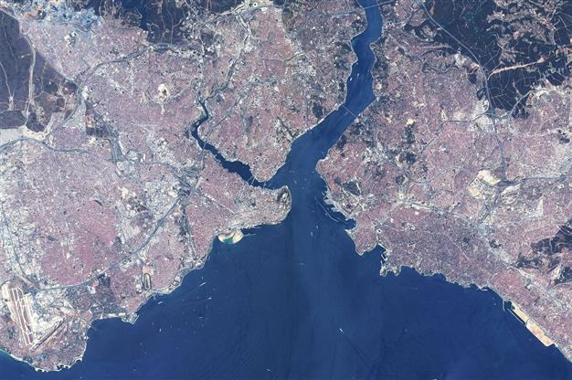
AA Photo
The satellite images received by Turkey’s RASAT satellite will be open to the public through an online portal, the state scientific research institute TÜBİTAK has said in a statement.TÜBİTAK’s Space Technologies Research Institute (TÜBİTAK UZAY) started a geoportal project with support from the Development Ministry and it is expected to be opened this year.
Turkey’s first observatory satellite manufactured by Turkish engineers was launched into space Aug. 17, 2011 from the Yasny Launch Base in southwestern Russia, bordering Kazakhstan.
RASAT, designed by engineers and technicians from the TÜBİTAK-UZAY, has shot images of an area coming around 3.8 million kilometers to the date.
Turkey’s two-dimension map will be available online this year.
The images are already being used by several public institutions including the Prime Ministry’s Disaster and Emergency Management Directorate (AFAD), Turkish Petroleum Corporation (TPAO), general directorate of mineral research and exploration.
In 2013, the demands from 50 public institutions and universities as well as several private firms were met by RASAT.