Who is responsible for the birth of a ‘statelet’ east of Euphrates?
We will find out the geographic, operational and contextual details of the planned safe zone between Turkey and U.S., in the east of River Euphrates in Syria, when discussions conclude.
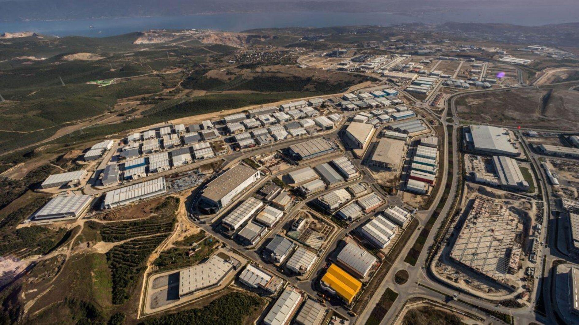
In general terms, a corridor adjacent to, or an important part of, the borderline running 430 kilometers from the southeastern province of Gaziantep’s Karkamış district to Iraq, where the Euphrates enters Syrian territory is being planned. In this corridor, an order will be set up which Turkey and the U.S. will jointly coordinate and monitor. News on this matter argue that the YPG will pull out its armed elements and heavy weapons from this band.
In practice, with this regulation, the U.S. will act as a buffer between Turkey and the PKK’s extensions YPG/PYD in Syria. U.S. soldiers will work with Turkish military officers at the joint operations center that is to be established in Şanlıurfa, but will probably have contacts with the YPG, via another channel, to talk about the situation on the field.
Region’s definitive status actual question
The line Turkey and the U.S. will monitor, which we call the “east of the Euphrates,” is a small surface area of a large region which covers nearly one third of Syrian territory.
Even in a scenario in which an ideal solution to Turkey’s security concerns and expectations at the border is found, the status of the region that extends to the Euphrates’ east – excluding the safe zone – in Syria’s future is a big question today.
When regime couldn’t pass Euphrates’ east
Let’s think of the Euphrates’ east area as a triangle. The Turkish border, nearly 430 kilometers long, forms the upper edge of the triangle. The northeastern point of the triangle to the south is formed by the Iraqi border. This edge, which starts just from the south of southeastern Şırnak’s Silopi district to Al-Qa’im, where the Euphrates reaches Iraq, is about 350 kilometers long.
The other side of the triangle, starting from Al-Qai’im and reaching Turkey in the northwest, stretches along the Euphrates River. It is difficult to calculate its distance as it follows a recessed route. But with a very rough calculation, we can estimate that it is 500 kilometers long. The air distance between Karkamış and Al Qaim is about 380 kilometers.
At the northern edge of the triangle, Turkey, the U.S. and YPG come face to face. The western part of the river on the edge of the triangle along that stretches to the Euphrates and is a region now largely under the control of Bashar al-Assad’s regime. Only when you go up north, the YPG and the U.S. have control over the region in Manbij where the Euphrates has a coastline. Just over that, in a narrow region stretching to Kalkamış in the Euphrates Shield area, the Turkish Armed Forces and the Free Syrian Army (FSA) are in control. Additionally, the region where the Tabqa settlement is — just west of Raqqa and the other side of the Euphrates — is controlled by the YPG.
Along the river line, the Assad regime is facing the SDF, which includes the YPG as its backbone, and its ally, the U.S. military force. The regime cannot pass its sovereignty to the other side of the Euphrates.
YPG holds all aces after ISIL defeat
The point we need to underline is that the area on the opposite bank of the river - except for the Kurdish settlements in the northern region - is the land where Arabs reside, mainly in Raqqa at the depth that goes down to the Iraqi border.
However, as ISIL mainly got hold of this region after 2013, the dynamics flipped. The U.S. carried out the fights against ISIL with the SDF, which it formed by merging YPG and Arab groups. Even though the SDF has Arab elements, most of its cadre is composed of YPG, especially on command elements. For example, SDF commander Mazlum Kobani, or Ferhan Abdi Şahin by his real name, is at the top of the wanted PKK terrorists list in Turkey.
As the SDF put an end to ISIL rule in the region of the east of Euphrates, during the end of 2018 and the beginning of 2019, the control of the lands taken back from ISIL, where there is Arab settlement, significantly shifted to the YPG. This situation causes tensions to rise between YPG, Arab elements and tribes in the region. Furthermore, the point shot attacks ISIL have been conducting over sleeper cells is another trouble that is making the situation in the east of the Euphrates more difficult.
How was the ‘statelet’ under YPG rule born?
According to the latest report of the International Crisis Group (ICG), an international think tank which is known for its neutral approach, 80 percent of Syria’s natural resources are on this region. This region holds 95 percent of Syria’s oil. Likewise, the SDF has been controlling the Tabqa dam over the Euphrates.
One of the most striking part of the report, “Squaring the Circles in Syria’s North East,” is as follows: “The U.S. may not have intended to contribute to the creation of an autonomous YPG-run statelet in Syria. Still, in the course of its war against ISIL, it ended up midwifing one – a territory five times the size of Lebanon that is home to millions of Syrians and that sprawls well beyond the majority-Kurdish areas from which it sprang.
60,000-man army
According to the ICG report, the “autonomous administration” under PYD control has been paying the salaries of 60,000 “fighters” of the YPG-led SDF. The report also says there are 30,000 police officers and 140,000 “civil servants” who are on a payroll by the administration of the autonomous region.
Let’s rewind to the first question. What will be the status of this region during the political resolution process in Syria?
We will continue discussing this tomorrow.


